


Geophysical Research


Ruapekapeka Pā and Battlefield is an archaeological site. Traces of the battle are preserved beneath the ground surface, protected by law and by the tapu (sacred) nature of the site. Using geophysical survey techniques, we are able to investigate Ruapekapeka without disturbing the ground surface and damaging the site. In 2006 specialist consultants from Geometria were contracted to carry out surveys of this nature.
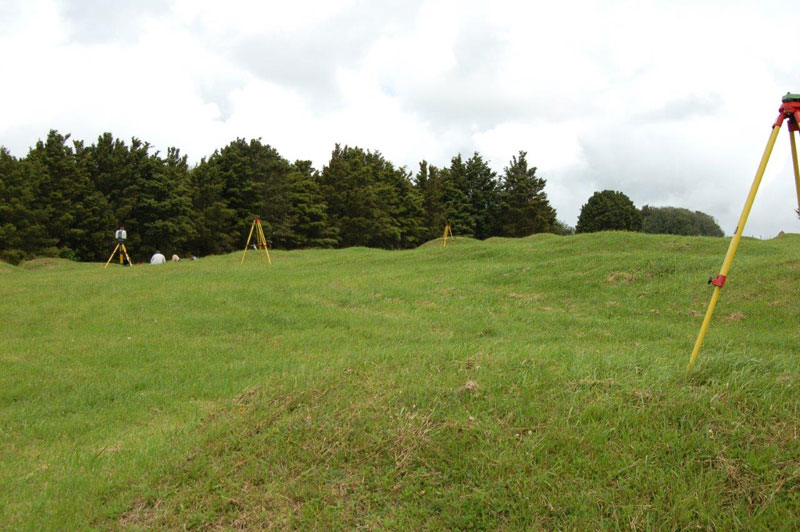
Geophysical research. Geometria staff running the equipment over the site.
Department of Conservation
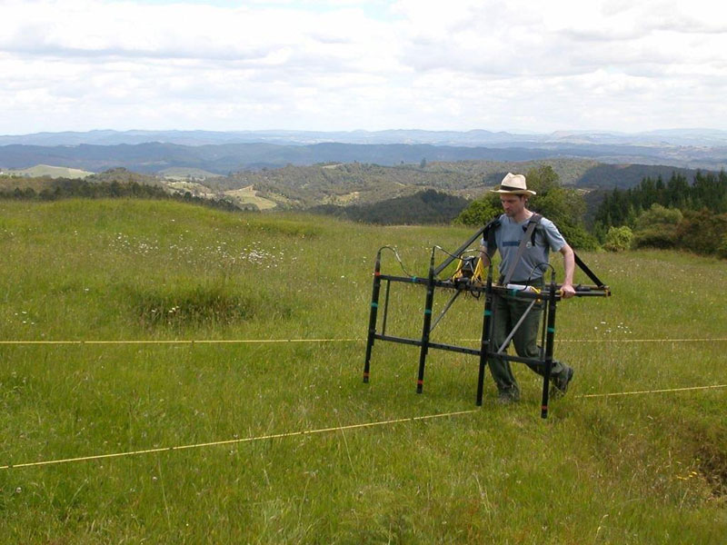
Geophysical research. Geometria survey equipment on site.
Department of Conservation
The sites were surveyed with a fluxgate gradiometer, a machine which measures anomalies in the earth’s magnetic field. It can detect features which have been dug into the ground surface, such as in-filled ditches and pits. Geometria also carried out a resistivity survey on the pā, using a device which measures differences in the ability of the soil to resist an electrical current.
The data which was collected provided us with some fascinating information. Today the main camp area is just a paddock – nothing is visible above the ground. Thanks to the geophysical surveys, we now know the extent of the camp and we have some ideas about its layout and how it was defended. Resistivity survey revealed a possible location for the well located within the pā, which was infilled and forgotten some time after the battle. We now have much better understanding of what lies beneath the ground surface at Ruapekapeka Pā and Battlefield.